Organisation Overview
PALAMIR specialises in data rich 2D and 3D Enterprise Geospatial information solutions and consultancy services.
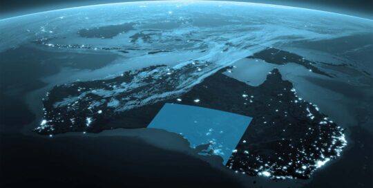
This includes the acquisition, provision and analyses of geospatial data from a range of sources including satellites and data from other available sources.
PALAMIR is partnered with Hexagon AB of Sweden and is their Geospatial Solutions Partner for Australia covering areas such as Earth Observation, the Construction Industry, Autonomous Vehicle Positioning Systems, and highly accurate measuring systems, including Intergraph®, ERDAS, Leica Geosystems and Luciad.
Expertise and Capabilities
PALAMIR and its partners have extensive experience spanning decades in Urban Digital Twin Cities, Construction and IT industries.
This allows us to mesh the Analog and Digitals world with a very deep understanding of Urban Environments in areas of Design, Built Form, Engineering, Urban Planning, Feasibility studies, earth observation data and other data sources.
With respect to earth observation, PALAMIR works closely with the customers who require value add to the data collected by satellites and other sources. An example such as decision makers in government and city councils with a need to understand how the urban environment is efficiently used and planned for by rate payers, logistics, tourism, autonomous vehicles and others to deliver a quality experience. This may cover areas such as foot traffic, vehicle congestion, building use, building envelope design, autonomous vehicle positioning and smart sensor integration.
This allows us to deliver highly detailed and data rich environments that are able to be deployed for detailed analysts, technical users and end user experience all from the same system and concurrently in 2D and 3D.
Unique Selling Points
PALAMIR specialises in highly accurate 2D and 3D positioning systems and application environments that is built from the ground up for real time big data.
We can deliver the following within a browser environment for portability: Cloud datasets from LIDAR; city or country-wide 3D reality meshes; dynamic data such as air and noise pollution; weather cubes; traffic and people flow through cities and or buildings and integrate hundreds of data formats natively.
With an understanding of what makes urban environments tick, we aren’t just digital, we aren’t just analog, we know urban environments.