



South Australian researchers are using artificial intelligence (AI) to help spacecraft navigate the Moon with greater accuracy, using its craters as landmarks.
Researchers from Adelaide University’s Australian Institute for Machine Learning (AIML) and the Andy Thomas Centre for Space Resources have developed a new crater-based navigation system called STELLA (Spacecraft craTer-basEd Localisation for Lunar mApping) for long-duration lunar mapping missions.
Developed by Dr Chee-Kheng Chng and Dr Sofia McLeod, the system helps spacecraft determine their position by identifying craters in images captured by onboard cameras and matching them with detailed maps of the Moon.
Dr Chee-Kheng Chng said the system builds on the detailed information already available about the lunar surface.
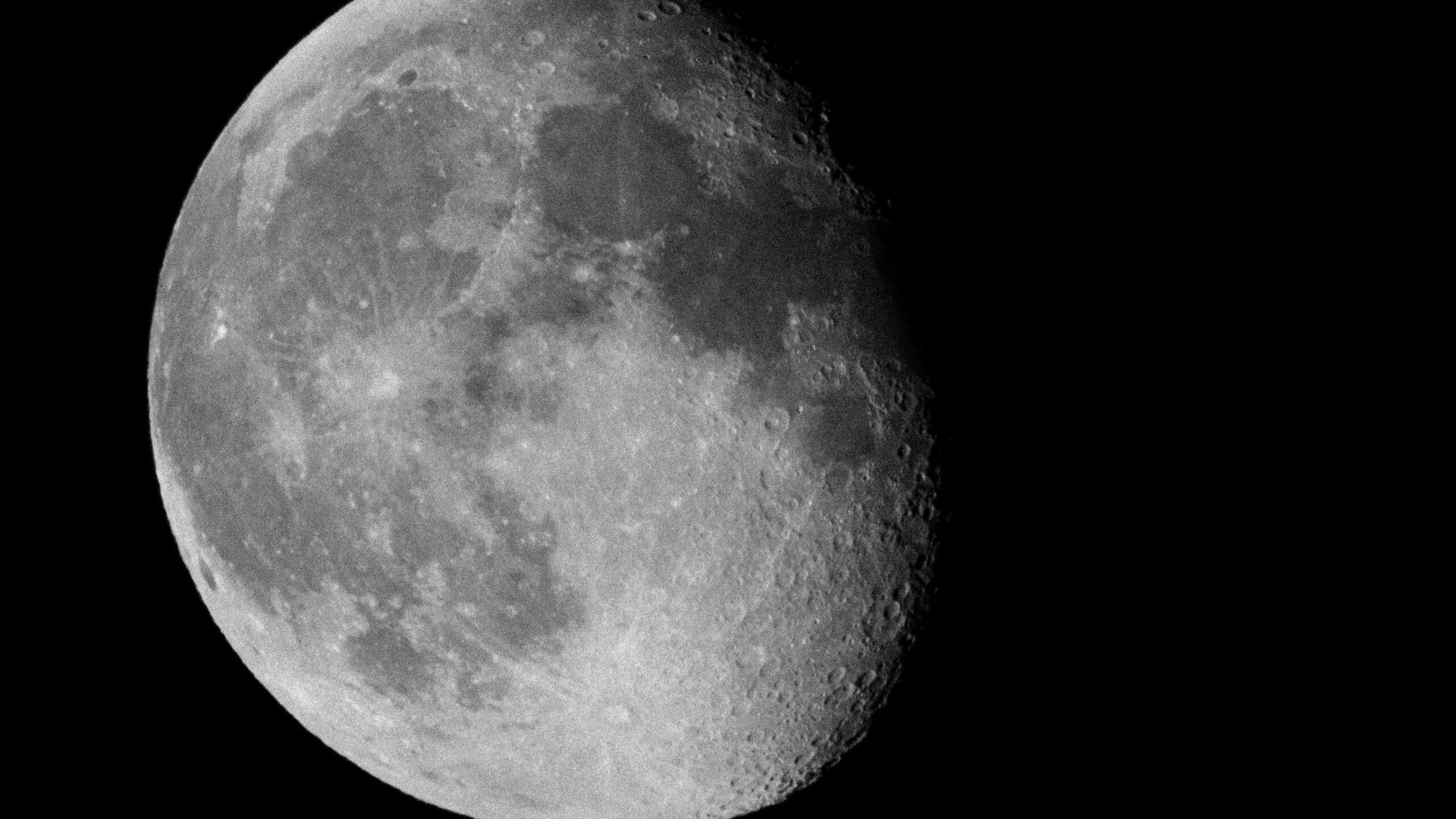
“We already have detailed maps of the lunar surface, where craters serve as the main landmarks,” Dr Chng said.
“Our system helps a spacecraft detect the craters it sees through its camera, match them with the craters on the lunar map, and use that information to determine its position.”
The researchers tested STELLA using a comprehensive and realistic synthetic dataset of more than 15,000 images. The images recreated a year-long lunar orbit and included a range of conditions, such as challenging lighting and different viewing angles.
Accurate location data is expected to become increasingly important as interest in lunar exploration grows and missions seek to identify and map potential resources on the Moon. Testing showed STELLA could achieve metre-level position accuracy and sub-degree altitude accuracy in most scenarios.
Dr Sofia McLeod said current lunar navigation systems do not provide the level of accuracy required for some exploration activities.
“Because it’s not possible to put people in space easily or cheaply, there needs to be a way to find information before you go, and that’s where AI comes in,” Dr McLeod said.
“The current systems available for lunar-based navigation are not accurate enough for the kinds of missions where you need really precise locations.
“Say you send up a satellite to search for water resources on the Moon, which could then later be referenced to find a good base camp location on the Moon’s surface. If your satellite positioning system isn’t accurate, then you might end up putting your base camp kilometres away from a water source, which would be disastrous.”
An evaluation of STELLA’s work has been published in the journal, Astrodynamics. The research presents STELLA as the first complete crater-based navigation system designed specifically for long-duration lunar mapping missions.
–
Photo credit: Adelaide University
